

Good afternoon,
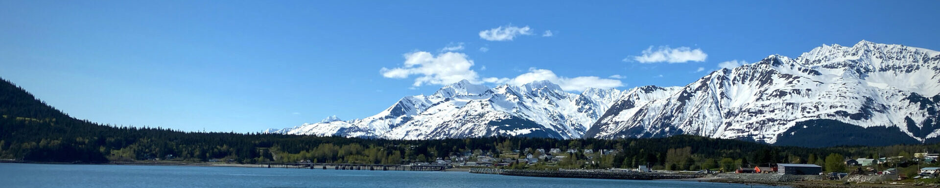
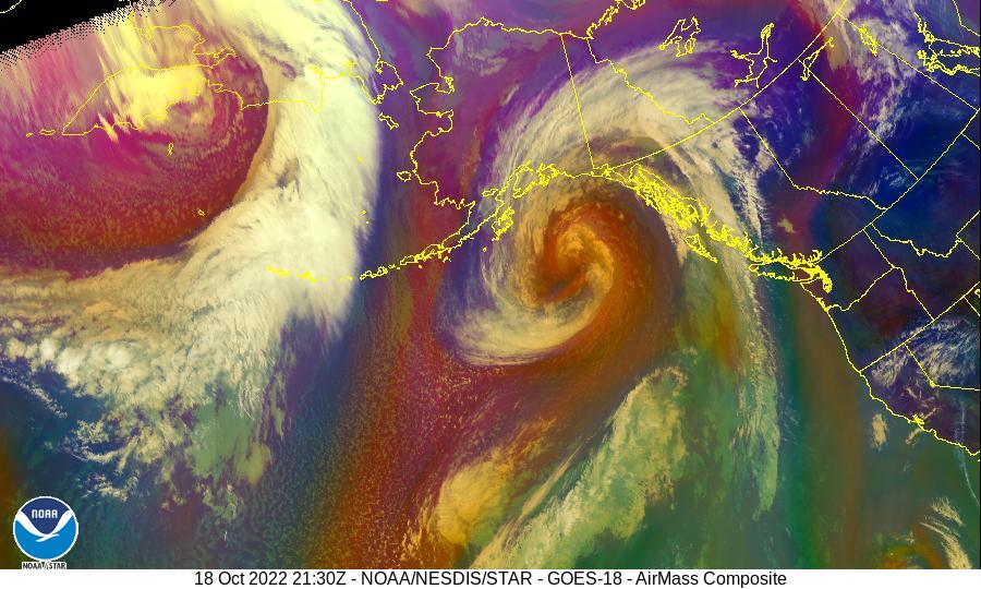
From the National Weather Service: A large and strong storm system will affect much of Southeast Alaska late Tuesday evening through Wednesday evening. Please see the attached briefing for graphics and information.
This storm will bring storm force winds and 30 to 40 foot seas to our Gulf of Alaska waters beginning Tuesday night and lasting into Wednesday afternoon. Please see attached briefing for graphics and details.
Two fronts will affect the inside waters during this time frame.
The first front will bring near gale to gale conditions with gusts of 40 to 50 mph over land areas during the evening hours on Tuesday.
The second and more significant front will bring gale to potentially strong gale conditions over especially the northern channels with gusts of up to 60 mph for places such as Yakutat, Sitka, and Skagway. Other land locations in the northern Panhandle will likely see wind gusts of 50 mph Wednesday morning into the afternoon as this front passes.
Wind directions will switch to a more SW direction with this second front on Wednesday morning/afternoon. Places in the northern channels from Icy Strait northward that have more vulnerability to SW winds should be prepared for a period of strong wind gusts and wave action from this direction.
Additionally more heavy rainfall will occur over the northern Panhandle in areas that have already seen flooding from recent heavier rains. A Flood Watch has been issued from late afternoon on Tuesday through Wednesday night. At least minor flooding of rivers and streams is possible and the combined effects of heavy rainfall and wind could lead to isolated landslides near areas of steep terrain.
Products of interest at:
- Flood Watches
- High Wind Watches
- Marine Weather Statement
- Forecast Discussion
- Public Local Area Forecasts
- Forecast Graphics
There may be other resources available for you on WFO Juneau web page, check it out.